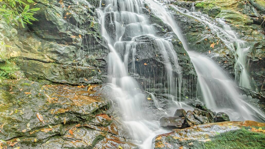
Mooney Falls
Mooney Falls is located in the Nantahala National Forest southwest of Franklin. Typically, the flow of the 20 foot waterfall is quite good. There is an upper and lower view of the falls. The lower view at the base of the waterfall provides the best view.
Trail
The trail to Mooney Falls is considered easy to moderate. The moderate part is due to some boulders at the base. The very short trail is only about a tenth of a mile long. Shortly into the hike, the trail splits. Go left to the upper view and right to the view at the base of the falls.

Big Laurel Falls
Directions to the trailhead
From the intersection of US 441 and US 64 in Franklin, drive west on US 64 for 12 miles to Old Murphy Road. Turn left and drive 1.9 miles and turn right on FR 67. After 1.7 miles, the road forks at the Standing Indian Campground. Take the left fork to continue on FR 67. The right fork leads to Standing Indian Campground. Drive 5.8 miles to the trailhead on the right. There is a sign to Mooney Falls at the trailhead.
Big Laurel Falls trailhead is located 0.7 miles before Mooney Falls on FR 67. A visit to both waterfalls makes a nice half day outing. The Big Laurel Falls trail is about a half mile long and considered easy. There are two forks in the trail. Take the right fork for both.
You can see informative videos of both of these hikes and waterfalls on line at HD Carolina.


Favorites Count: 0