

Not only is this area replete with Cherokee references, history, and cultural influences, but there is even a mountain in Macon County named for Cherokee legend.
Standing Indian, or Yunwitsule-nunyi in the Cherokee language, translates to “where the man stood.” The story passed down to members of the Cherokee Nation involves a warrior sent to the mountaintop to keep watch for a winged monster who threatened children.
Today, that 5,499 feet elevation summit is directly on the Appalachian Trail (AT) and within the Southern Nantahala Wilderness. The five-mile-round-trip hike from the Deep Gap trailhead to the top of the open, bald Standing Indian offers exceptional vistas toward Georgia and Tennessee. There is also evidence of the fall 2016 fire that ravaged the area.
And, that lake visible in the distance is Chatuge, which is partly in Georgia and partly in North Carolina.
Anytime is a good time to traverse the Nantahala Hiking Club’s well-maintained trail to Standing Indian; but, spring into late summer are ideal seasons because of the flowers and birds. Everything from the tiniest bluets to the rarer yellow trout lilies to the abundant rhododendron and trilliums are visible on this route.
Additionally, an abundance of white spring blooms on dense patches of blackberry bushes along the path means that in the heart of the summer is an opportunity for picking plenty of berries.
Download the free Merlin bird song app and watch as the smartphone picks up species after species – some that can be seen and others that sing high in the tree tops.
On a recent hike, a wren’s nest in some moss beside the trail provided a close-up look at the eggs while the parent flew away for a few moments.
Also on this trail are hikers from all over the world. From spring through fall are opportunities to engage in conversations with some of them. Bonuses for true AT hikers is trail magic: Ziplock bags full of such treats as candy, dried fruit, and beef jerky. Think about including some in a backpack and watch those AT hikers’ eyes light up when they are handed one. Sending them off with a “good luck” or “praying for your safety” seals the deal for them. Hiking the entire 2,200-mile trail from Georgia to Maine is a serious endeavor.
If encountering dedicated backpackers at Standing Indian, they are just about 100 miles into their journey or they are almost at the finish line – depending on if they are hiking south to north or north to south. It’s not unusual to find along the trail up to Standing Indian motivational messages for hikers written on rocks or – as was discovered recently – a hard-boiled egg. Common ones are: “Don’t give up!”
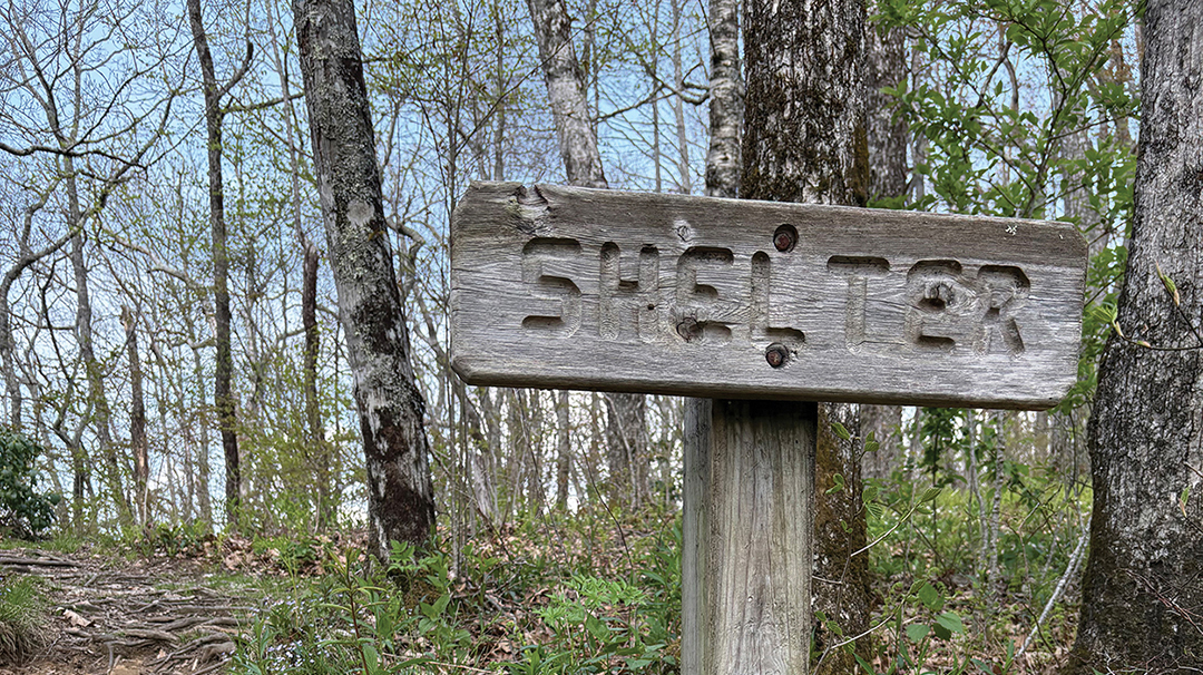
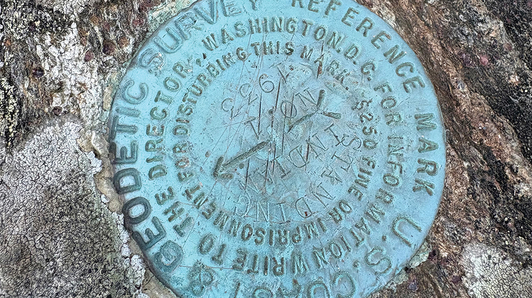
Standing Indian is rich in history as well. Look for the U.S. Geological Survey benchmarks from the 1930s. A few exist on top of the mountain and are data points for elevation, direction, etc. Check out the old hand-carved signs indicating primitive camping spots, and imagine just how many people over the centuries have traversed there.
So, whether passing over Standing Indian as a dedicated AT backpacking hiker or just interested in taking a few hours out of a day to ascend to the summit, the experience is varied and rewarding.
Getting there: Drive on U.S. Highway 64 four miles past Winding Stair Gap and turn left onto Deep Gap Road. Drive straight on a wide gravel U.S. Forest Road #71 to the end – about five miles – until reaching parking areas and trailhead. Head north on the Appalachian Trail and follow the white blazes. The trail is not too steep, just a gradual incline. At the two white blazes almost at the top, do not continue on the AT; instead, veer right onto a spur trail to continue up a short distance until reaching the summit of Standing Indian.


Favorites Count: 0